The Bayeux Tapestry
Click HERE to see all the illustrations and the description of each picture.
The illustrations are displayed from the BayeuxTapestry.org.uk website from Reading Museum
|
The Bayeux Tapestry was most likely commissioned by William the Conqueror's half-brother, Bishop Odo,
it would seem that this was at the same time as Bayeux Cathedral's construction in the 1070s, and
completed by 1077 in time for display at the cathedral's dedication. It is believed it was sewn by
ladies from Tenterden in Kent and transported to Bayeux when complete. The Tapestry or more
accurately an embroidery is about 70 metres long and was first recorded in in 1476 when it was
recorded in the cathedral treasury at Bayeux as 'a very long and narrow hanging on which are
embroidered figures and inscriptions comprising a representation of the conquest of England'.
The text in italics is the latin wording from the tapestry, the english in () is the translation.
We have ignored all but the Battle of Hastings scenes, but if you wish to see the earlier scenes please click
Here.
|
|
|
The Beginning in Normandy
William decides to invade.
Hic Willelm dux ivssit naves edificare
(Duke William ordered the ships to be made)
Trees are chopped down, ships are made and dragged into the sea.
Hic trahunt naves ad mare
(Here they are pulling the ships into the sea)
Weapons armour, food and drink are taken to the ships.
Isti portant armas ad naves et hic trahunt carrum cum vino et armis
(They carry arms to the ships and are pulling a wagon with wine)
Crossing The Channel
The fleet sails for England.
hic willelm dux in magno navigo
(Duke William in a large ship)
mare transivit
(They cross the sea)
The sea is crowded with ships.
et venit ad Pevenesae
(and came towards Pevensey)
Landing
Troops disembark and are sent to Hastings to get provisions.
hic exeunt caballi de navibus et hic milites festinaverunt haestinga ut cibum raperentur
(the horses are taken from the ships and the soldiers make haste to Hastings to seize food)
Landing Feast
Williams feast is prepared and eaten.
hic est wadard
(here is Wadard - one of William's knights)
hic coquitur caro et hic ministraverunt ministri
(the food is being cooked and has been served)
hic fecerunt prandium
(here they had breakfast)
et hic episcopius cibu et potu benedict
(Bishop Odo blesses the food and drink)
Building a Fort
The Motte and Bailey is built and the troops go off and burn the villages.
odo eps willelm rotbert
(Bishop Odo, William and Robert)
iste jussit ut foderetur castellum at Hastenga
(he ordered that a motte should be built at Hastings)
ceastre
(the camp)
hic nuntiatum est willelm de harold
(here William is told about Harold)
hic domus incenditur
(here a house is burned)
Preparations for the Battle
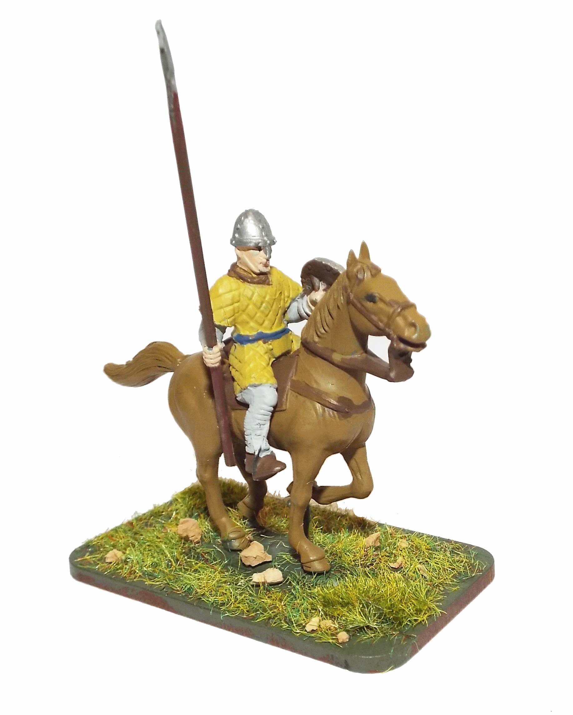
William is ready to mount his horse and his cavalry move off.
hic milites exierunt de hestenga et venerunt ad prelium contra haroldum rege
(Here the knights have left Hastings and have come to the battle against King Harold)
William tries to find out where Harold is.
hic willelm dux interrogat vital si vidisset haroldi exercitu
(Here Duke William asks Vital if he has seen Harold's army)
Harold's spies tell him about William.
iste nuntiat haroldum rege de exercitu willelmi ducis
(This man tells King Harold about Duke William's army)
hic willelm dux alloquitur suis militibus
(Here Duke William speaks to his knights)
Continued from previous.
ut preparen se viriliter et sapienter ad prelium contra anglorum exercitu
(to prepare themselves manfully and wisely for the battle against the army of the English)
The Battle
Continued from previous.
Leofwine and Gyrth are killed.
hic ceciderunt lewine et gyrd fratres haroldi regis
(Here fell Leofwine and Gyrth, brothers of King Harold)
The Battle rages.
hic ceciderunt simul angli et franci in prelio
(Here English and French fell at the same time in battle)
hic odo eps baculu tenens confortat pueros
(Here Bishop Odo, holding a club, gives strength to the men)
William is alive and rallies his troops.
hic est willel dux
(here is Duke William)
etius
(Eustace)
Harold is Killed
Harold's housecarls are killed and then Harold.
hic franci pugnant et ceciderunt qui erant cum haroldo
(Here the French are fighting and have killed those who were with Harold)
hic harold rex interfectus est
(Here King Harold is slain)
English are Routed
The English flee.
et fuga verterunt angli
(and the English have turned in flight)
|