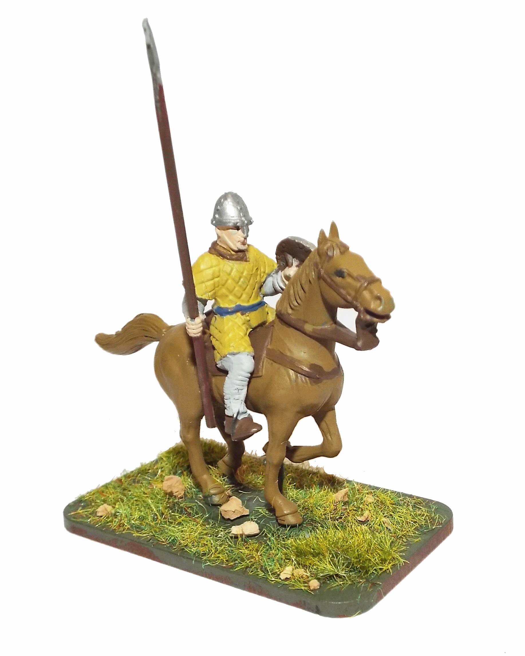
Battle of Hastings AD1066 - Phase 6 - Building the Forts
Building the prefab forts possibly from the ships.
|
This page shows the documentary evidence from translated original documents
|
|---|
Anglo Saxon Chronicles
|
|---|
No reference to this subject in this document.
|
Battle Abbey Chronicles
|
|---|
Things thus turning out according to his wishes, the duke did not long remain in that place, but went
away with his men to a
port not far distant called Hastings ; and there, having secured an appropriate place, and acting upon a
prudent determination,
he speedily built a castle of wood.
|
Bayeux_Tapestry
|
|---|
The Motte and Bailey is built and the troops go off and burn the villages.
odo eps willelm rotbert
(Bishop Odo, William and Robert)
iste jussit ut foderetur castellum at Hastenga
(he ordered that a motte should be built at Hastings)
ceastre
(the camp)
hic nuntiatum est willelm de harold
(here William is told about Harold)
hic domus incenditur
(here a house is burned)
|
Carmen de Triumpho Normannico
|
|---|
You secure the bridgehead fearing to neglect the ships
And raise palisades, that you may site the camp within
You restore the forts that were long since destroyed
You station garrisons that they may be defended
Not much space has been occupied by your men in peace
|
Florence of Worcester
|
|---|
No reference to this subject in this document.
|
Henry of Huntingdon
|
|---|
Harold, king of England, returned to York the same day, with great triumph. But while he was at dinner, a
messenger arrived with the news that William, duke of Normandy, had landed on the south coast and had
built a fort at Hastings.
|
Master Wace
|
|---|
The barons had gonfanons, and the knights pennons. They occupied the advanced ground, next
to where the archers had fixed themselves. The carpenters, who came after, had great axes in their
hands, and planes and adzes hung at their sides. When they had reached the spot where the archers
stood, and the knights were assembled, they consulted together, and sought for a good spot to place
a strong fort upon. Then they cast out of the ships the materials, and drew them to land, all shaped
framed and pierced to receive the pins which they had brought, cut and ready in large barrels ; so that
before evening had well set in, they had finished a fort. Then you might see them make their kitchens,
light their fires, and cook their meat. The duke sat down to eat, and the barons and knights had
food in plenty; for he had brought ample store. All ate and drank enough, and were right glad that they
were ashore.
|
William of Jumièges/Orderic Vitalis(Gesta)
|
|---|
No reference to this subject in this document.
|
William of Malmesbury
|
|---|
No reference to this subject in this document.
|
Quedam Exceptiones de Historia Normannorum et Anglorum
|
|---|
No reference to this subject in this document.
|
Phases of the Battle of Hastings 1066AD
|
|---|
No reference to this subject in this document.
|